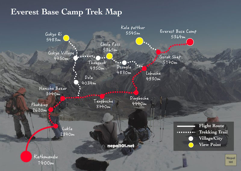
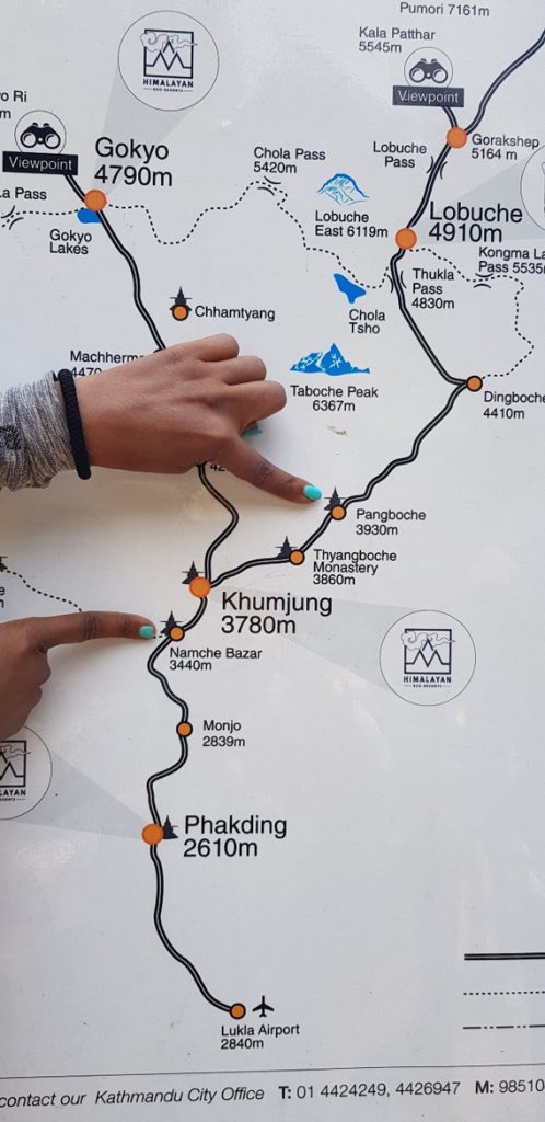
Trek Map
Everest Base Camp Trek Map and Stats
Singapore to Katmandu – By Flight 3528 km
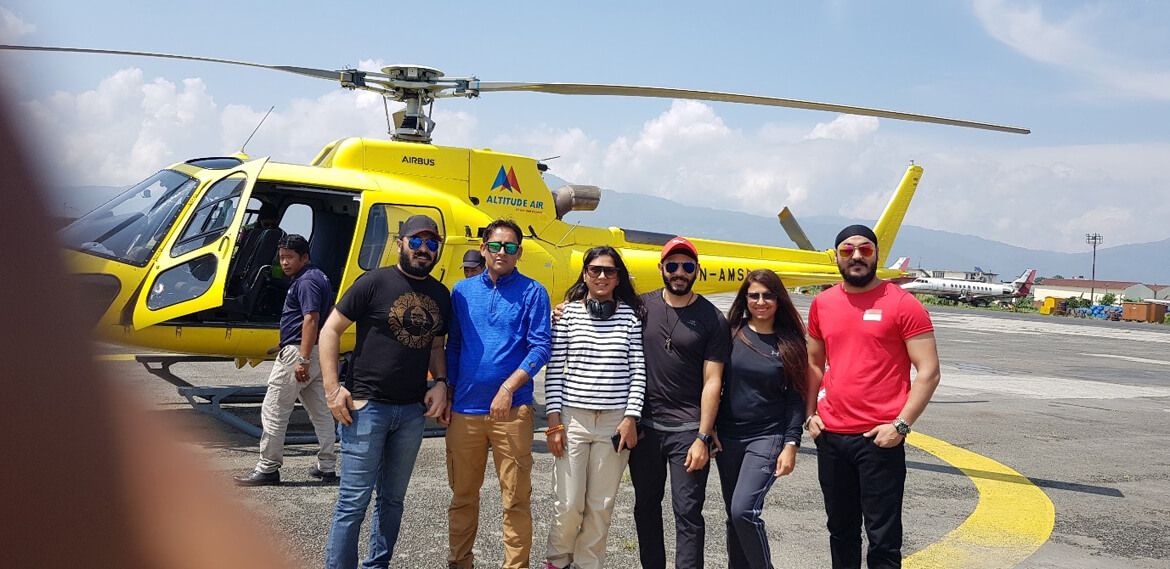
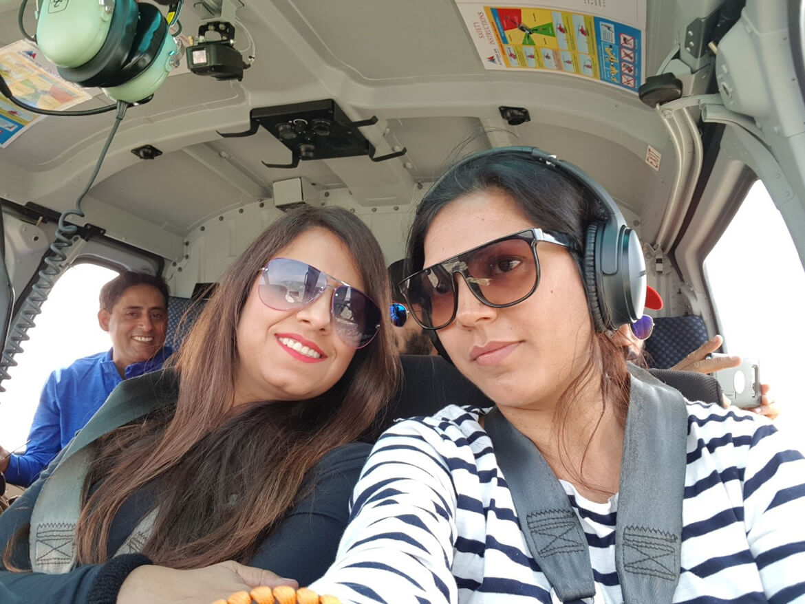
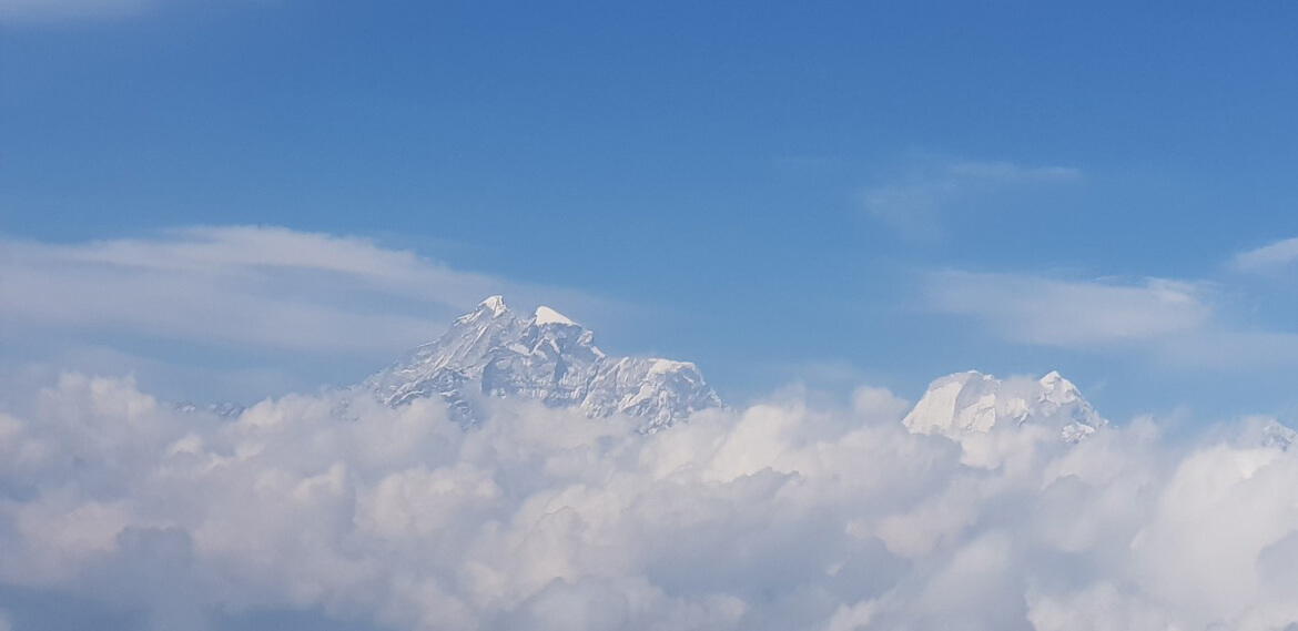
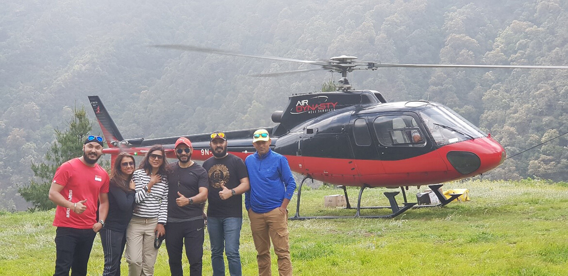
Katmandu to – By Chopper 135 km
Lukla to EBC – By foot hiking: 60 km Elevation: 8,700ft to 17,594 ft
EBC to Lukla – By foot hiking: 60 km depression: 17,594 ft to 8,700ft
Lukla to Katmandu – By Chopper 135 km
Katmandu to Singapore – By Flight 3528km
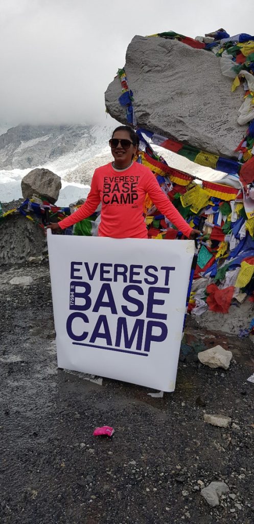
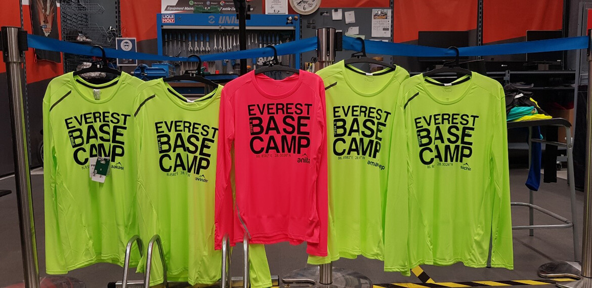
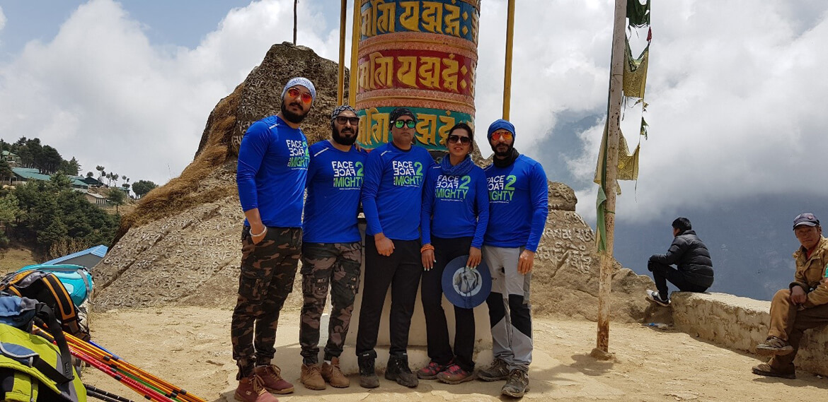
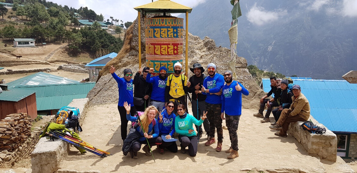
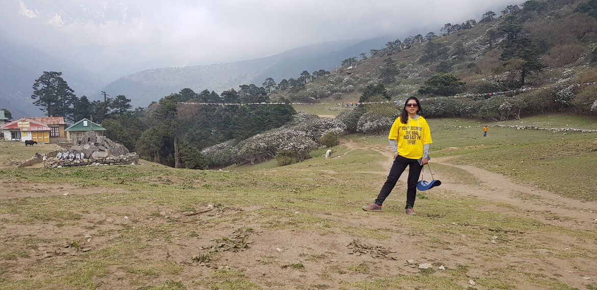
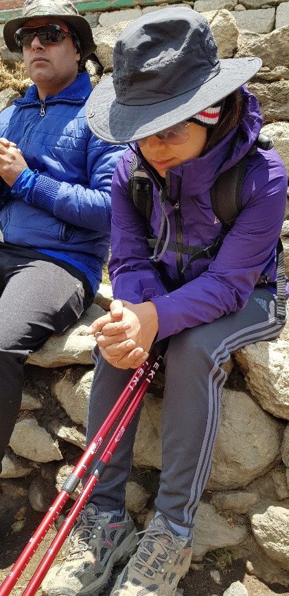
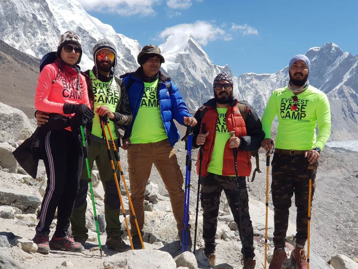
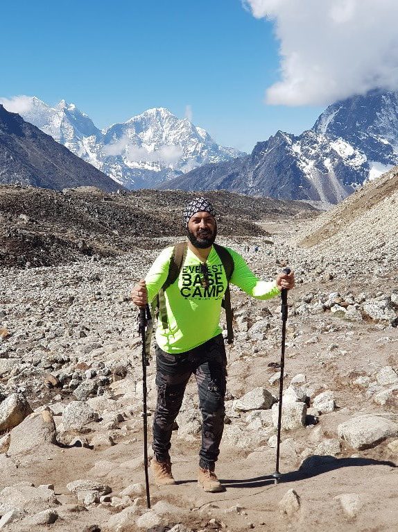
What we would wear along with our smiles when we conquer EBC
Well before the journey began, our T-shirts started encouraging us, as we wanted to have them on, and that was only possible at Mount Everest base camp.
The trek to EBC typically takes around 12-14 days, covering a distance of approximately 70 miles (113 kilometers) through the rugged terrain of the Khumbu region passing through picturesque Sherpa villages, dense forests, and stunning mountain vistas, including views of the infamous Khumbu Icefall.
Here come EBC
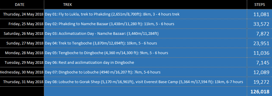
Day 1
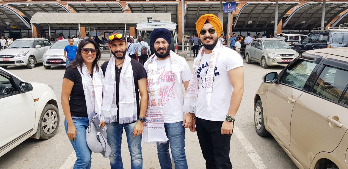
Fly to Nepal – Katmandu

Welcome @ Katmandu
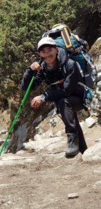
Nima Sherpa is a member of the Sherpa ethnic group, who are renowned for their mountaineering skills and have a long history of guiding and supporting expeditions to the Himalayas, including Mount Everest. As a Sherpa guide, Nima is highly experienced and knowledgeable about the region and has led numerous treks and expeditions to Everest Base Camp and other destinations in the Khumbu region.
As a guide, Nima was not only skilled in navigating the challenging terrain and changing weather conditions of the Himalayas but also ensured our safety and well-being of us. He was friendly, patient, and always willing to share his knowledge and insights about the local culture, history, and traditions.
During your trek to Everest Base Camp, Nima likely played a crucial role in making sure that everything went smoothly, from arranging logistics such as accommodations and meals to providing guidance and encouragement along the way. He also helped us acclimatize to the high altitude and advised us on how to stay safe and healthy during the trek.
It’s not uncommon for travelers to form strong bonds with their guides during expeditions, and it’s clear that Nima left a lasting impression on us.

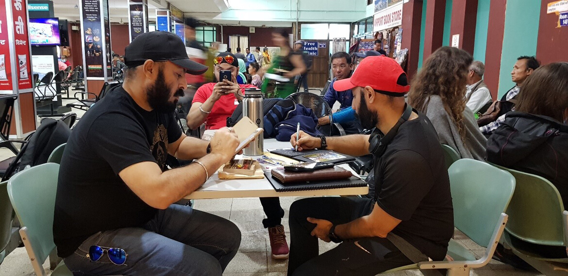
WATING FOR THE FLIGHT TO LUKLA
One of the most dangerous airports in the world, excited and equally scared. – It is the primary airport for travelers seeking to trek to Mount Everest and the surrounding region, including Everest Base Camp. However, it is also considered one of the most dangerous airports in the world due to its location and challenging terrain.
The airport is situated on a steep slope with a short runway of just 1,729 feet (527 meters) and is surrounded by mountains on all sides. The runway is also inclined at a gradient of 12%, making it one of the steepest runways in the world.
Sadly the weather was bad to take off. Hence, we spent hours at the airport.
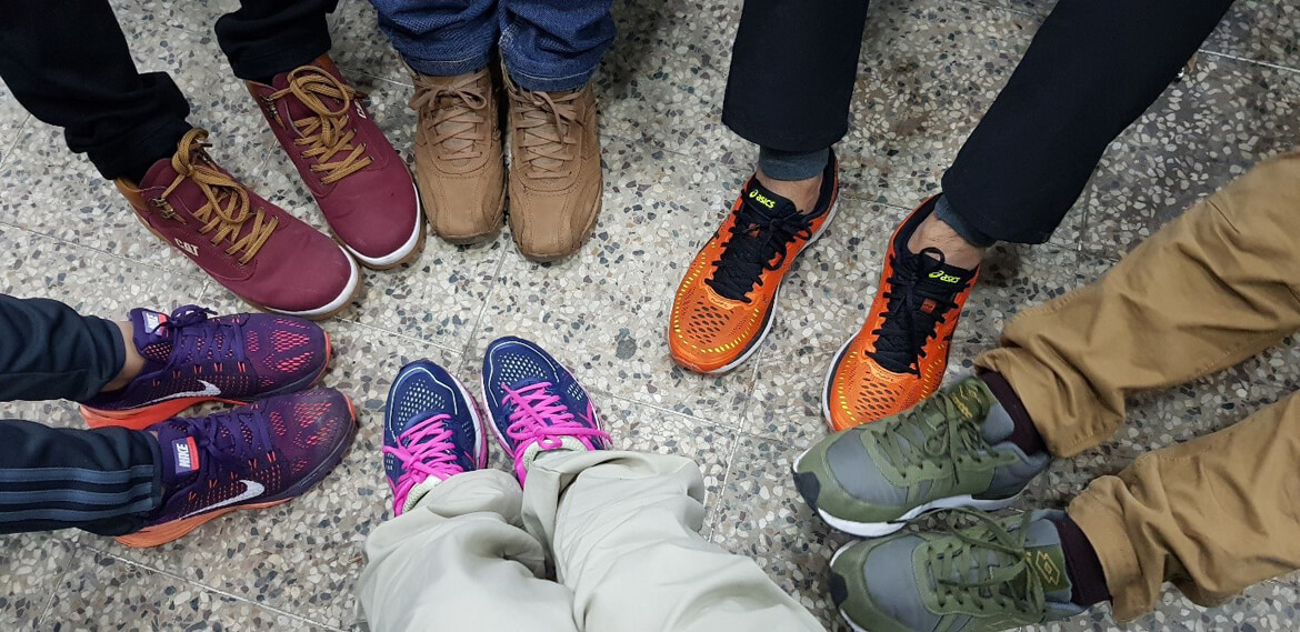
It’s always a good idea to have a backup plan when traveling, especially when embarking on a journey to a remote and challenging destination like Lukla.
Waiting for flights at Lukla Airport is always unpredictable, with delays and cancellations due to weather conditions being a common occurrence. This was so frustrating and challenging as we were eager to start our trek
Luckily I was prepared and had my backup plan to complete one of my travel journals, got the photos and pens, this came handy.
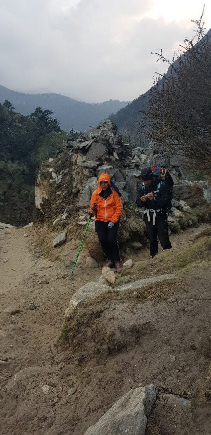
AFTER 5 hours of waiting, we got a chopper only halfway, which added additional hours of walking, but we all were done waiting and did not want to delay the trek and jumped into the opportunity.
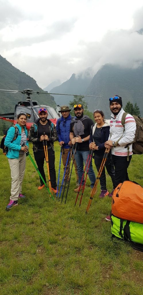
Because of not landing in lukla we had additional trek to do, well the trek started earlier than we intended, we were not excited but had to start the trek as the day light was working against us. trekking in the dark can be dangerous, especially in the mountainous terrain of the Khumbu region.
Finished first day’s trek
Day 2
Phakding to Namche Bazaar (3,438m/11,280 ft): 11km, 5 – 6 hours
Longest trek Day {Almost 35k steps Day, and this are climbing elevating steps}
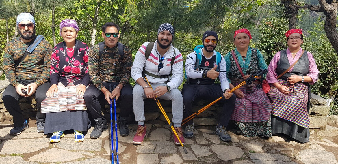
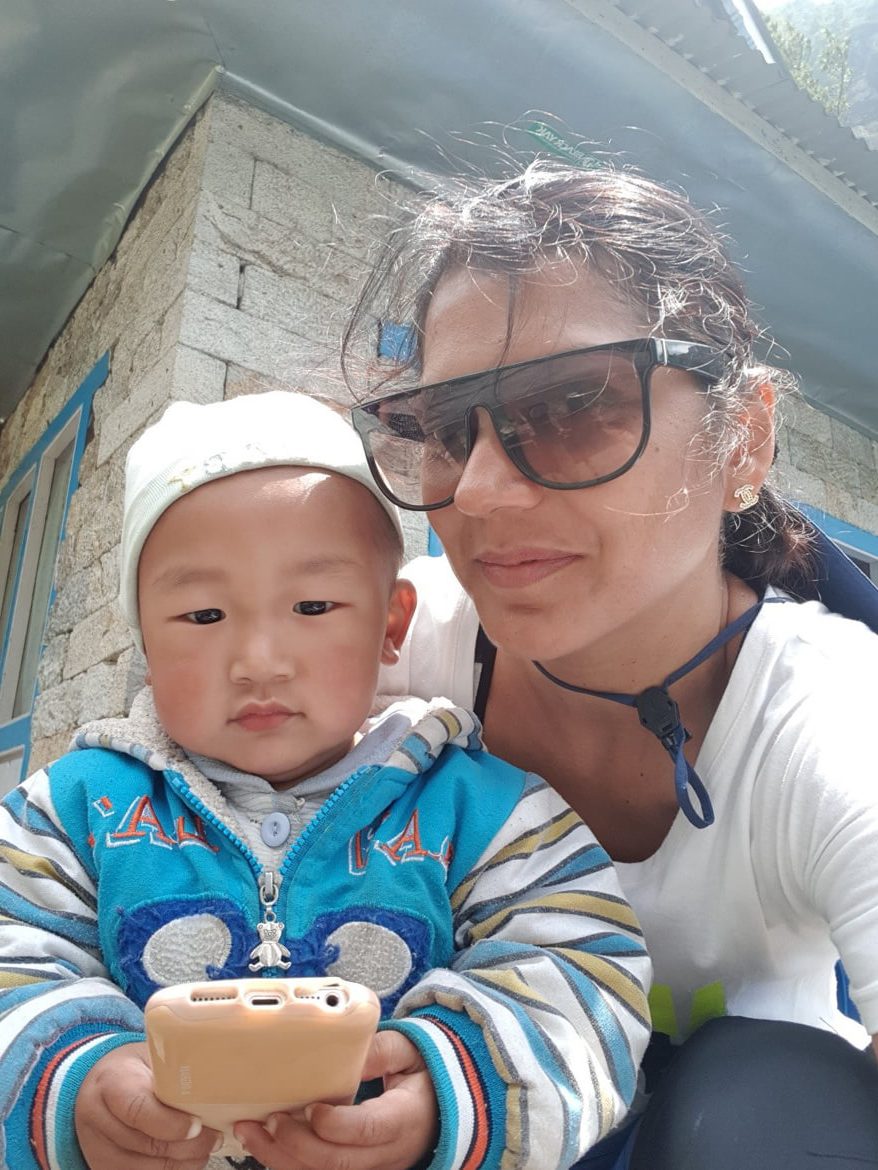
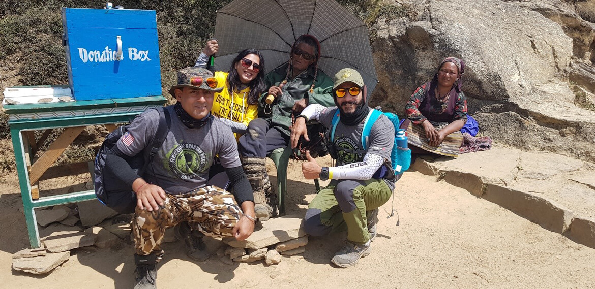
Someone took good care; people are amazing and most humble
Some more happy souls on the way.
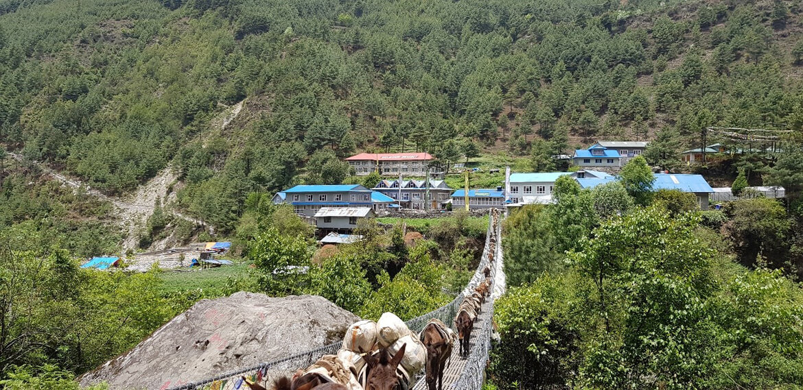
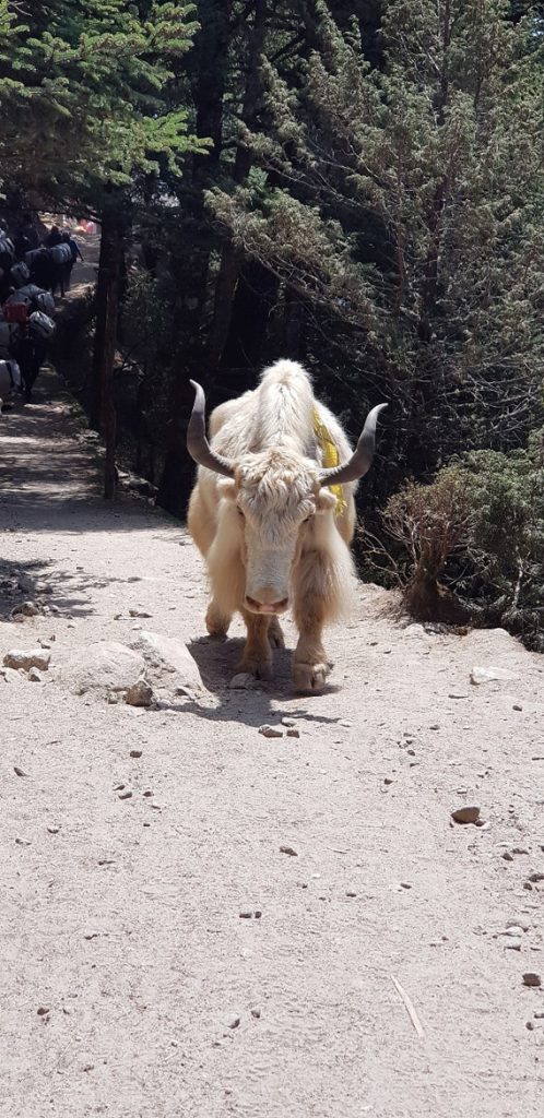
The trail starts in Phakding, a small village situated on the banks of the Dudh Kosi River. From here, we started our ascent towards Namche Bazaar, one of the largest and most important towns in the Khumbu region. The trail follows the river and passes through several small villages and settlements, providing an opportunity to experience the local culture and way of life.
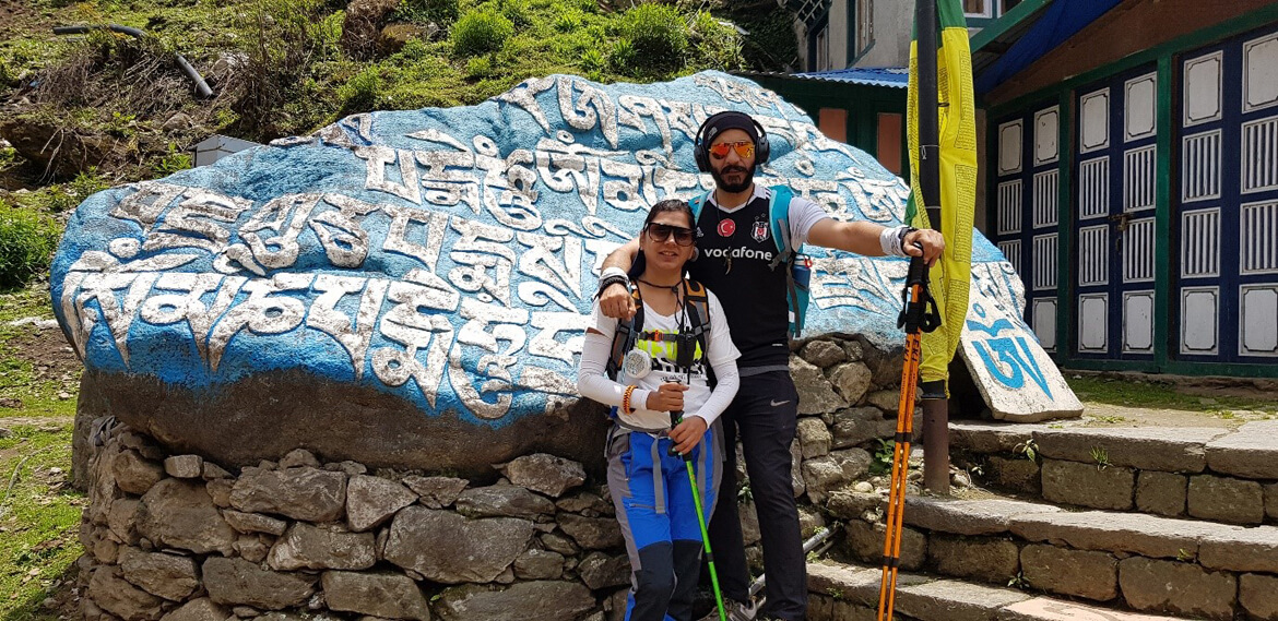
ROCKS with Prayers written on them:
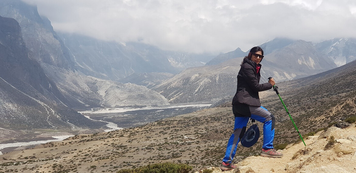
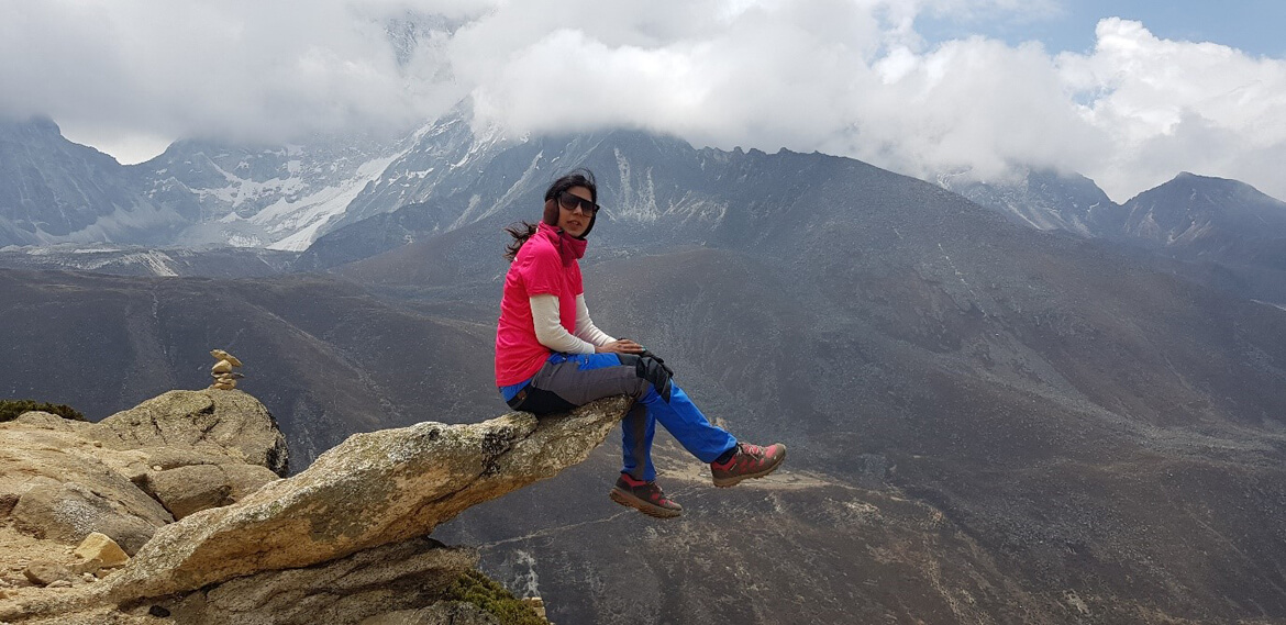
As we continued to climb, the trail becomes steeper and more challenging, but the stunning views of the surrounding mountains and valleys make it all worth it
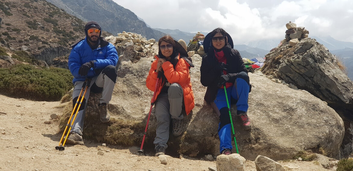
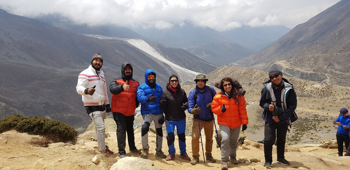
We became 2 Teams – the pretty ones and we 4
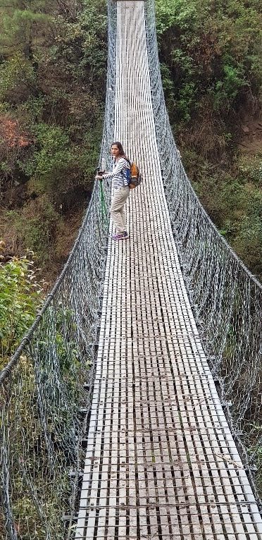
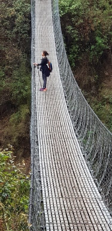
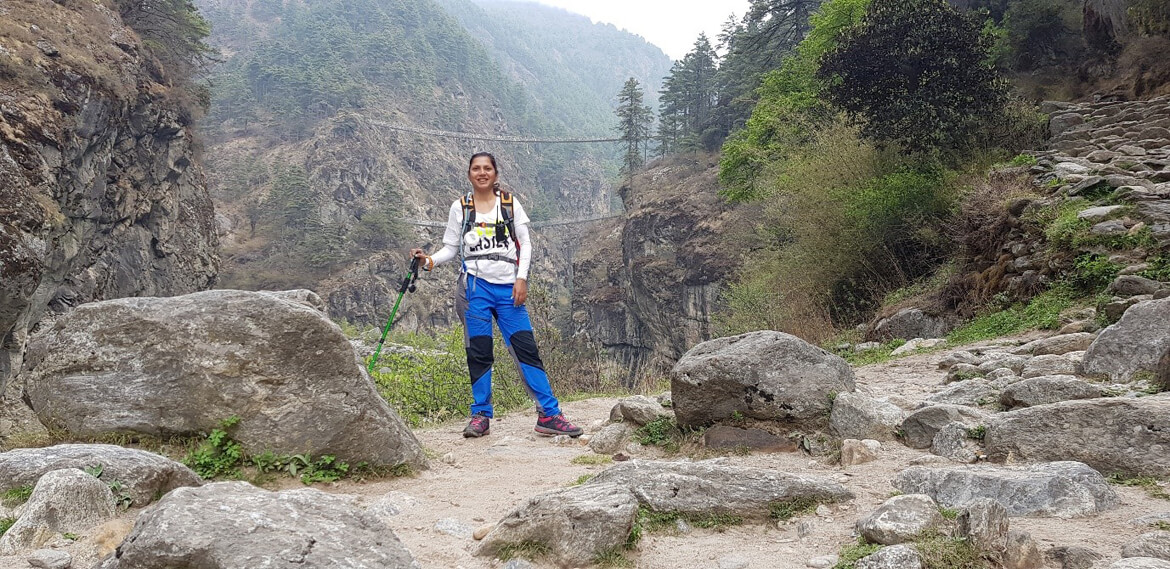
 We passed through dense forests of rhododendrons and pine trees, crossed suspension bridges over the river, and climbed steep switchbacks carved into the mountainside.

Overall, the trek from Phakding to Namche Bazaar is a challenging but rewarding experience that offers a glimpse into the beauty and culture of the Khumbu region. It’s a must-do for any adventurer looking to explore the trails of the Himalayas.
Day 3
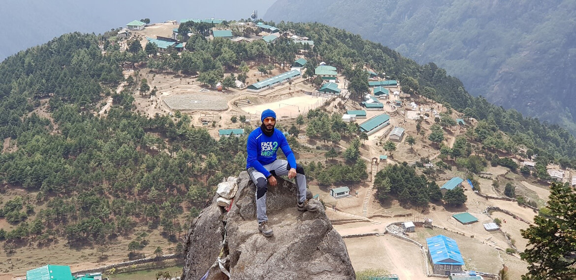
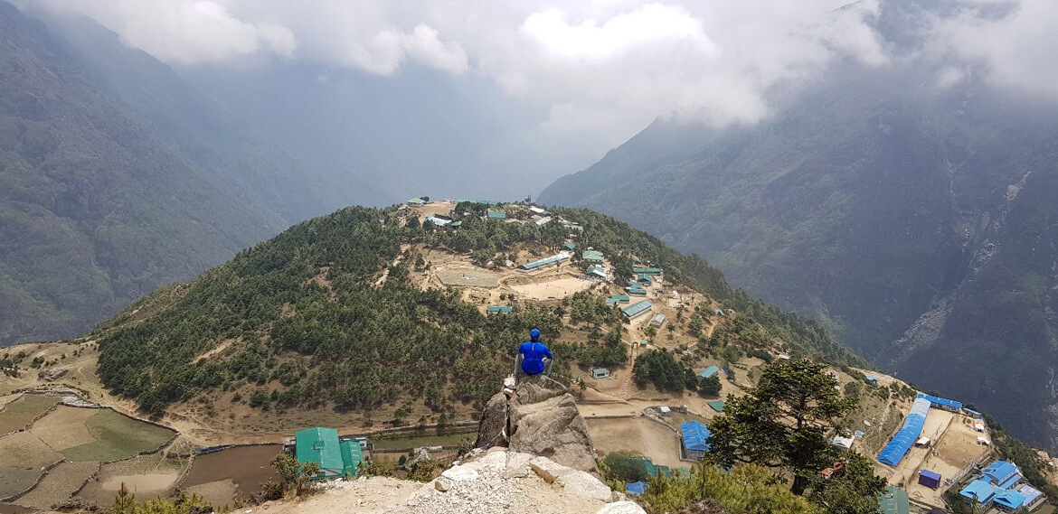
Acclimatization Day – Namche Bazaar: (3,440m/11,284ft) is the unofficial capital of the Khumbu region of Nepal, and is a major stop-off point for trekkers and climbers heading for Mount Everest base camp.
The village is located on crescent-shaped mountain slopes that offer stunning views of the mountains across the valley. It is a grueling 3 to 4-hour climb up from the river to Namche, and at 3,500 m, it is possible to suffer altitude sickness here. Therefore, we spend one night in the village to acclimatize.
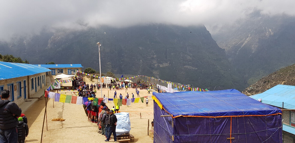
To our surprise, when we were trying to acclimatize and people were playing volleyball, IMPRESSIVE
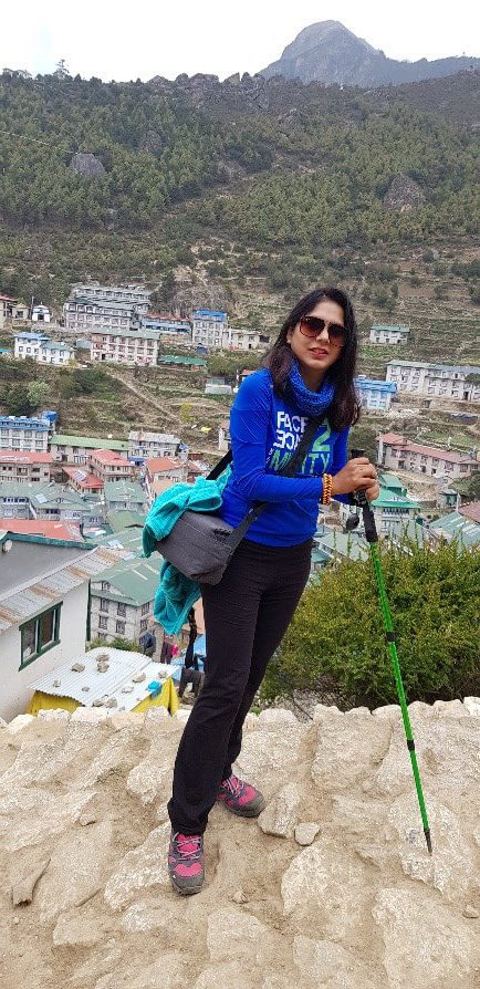
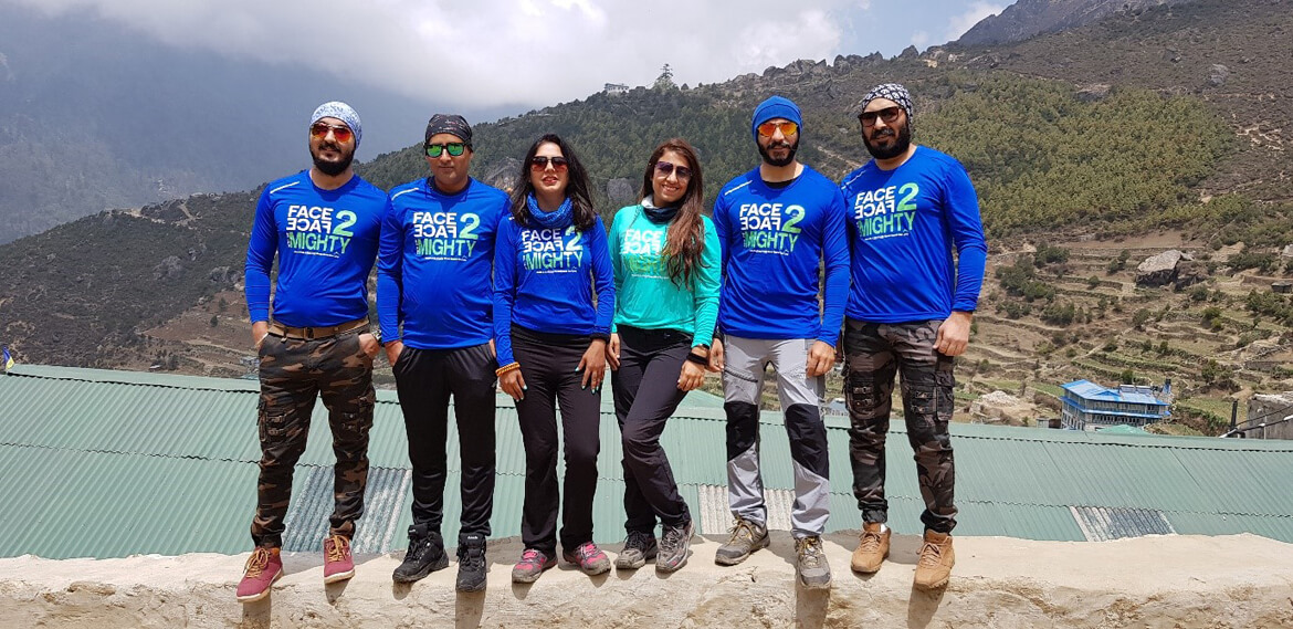
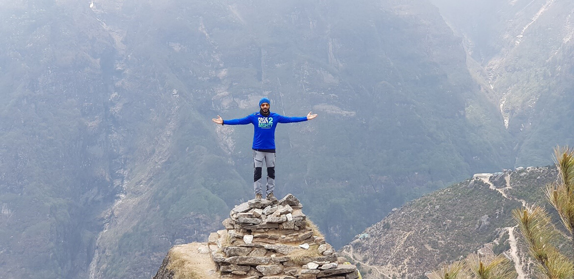
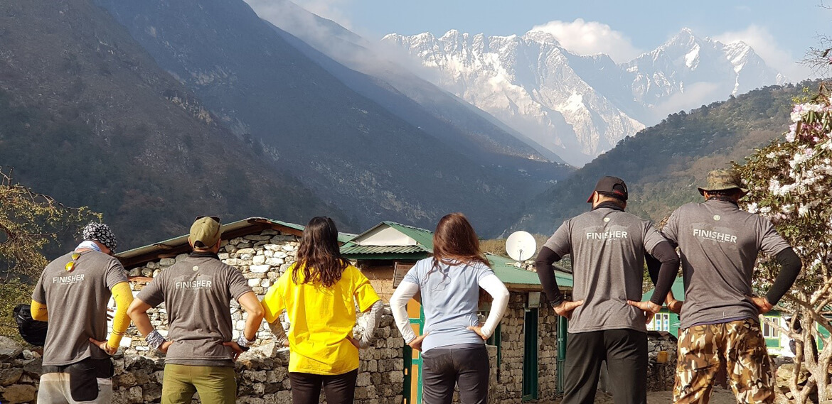
This was the popular option to hike to the Everest View Hotel, which is situated at an altitude of 3,880 meters (12,730 feet) and offers stunning panoramic views of the surrounding mountains, including Mount Everest. – Today we will be able to see Mt. Everest hence our t-shirts “FACE 2 FACE with the MIGHTY” (The hike takes around two hours and is a gradual uphill climb.)
It is also an important acclimatization stop on the trek to Everest Base Camp. Acclimatization is crucial to avoid altitude sickness and to allow your body to adjust to the thin air at higher elevations.
On the acclimatization day in Namche Bazaar, we had the opportunity to explore the town and surrounding areas while allowing our body to adjust to the altitude. There were several options for activities, depending on your interests and fitness level.
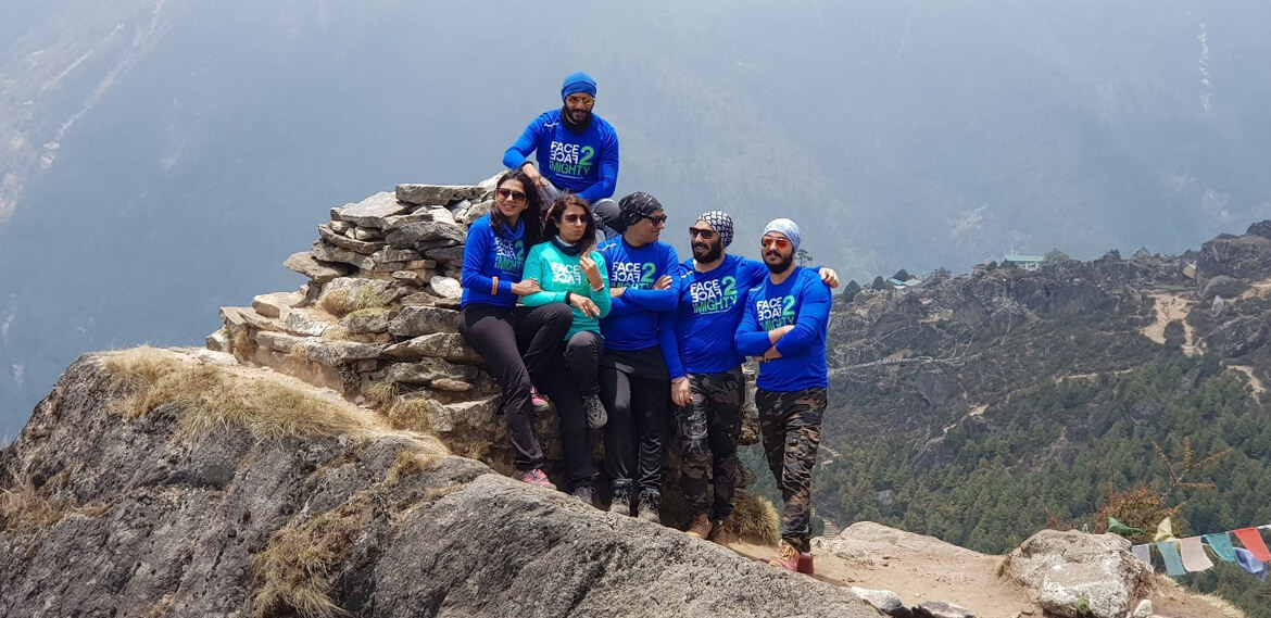
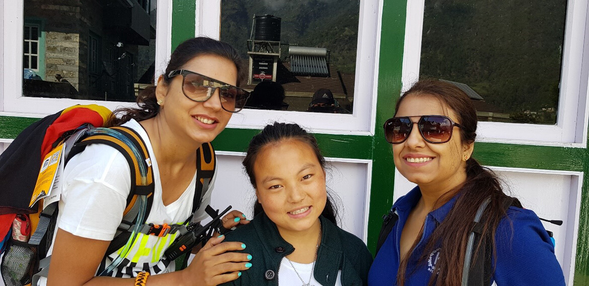
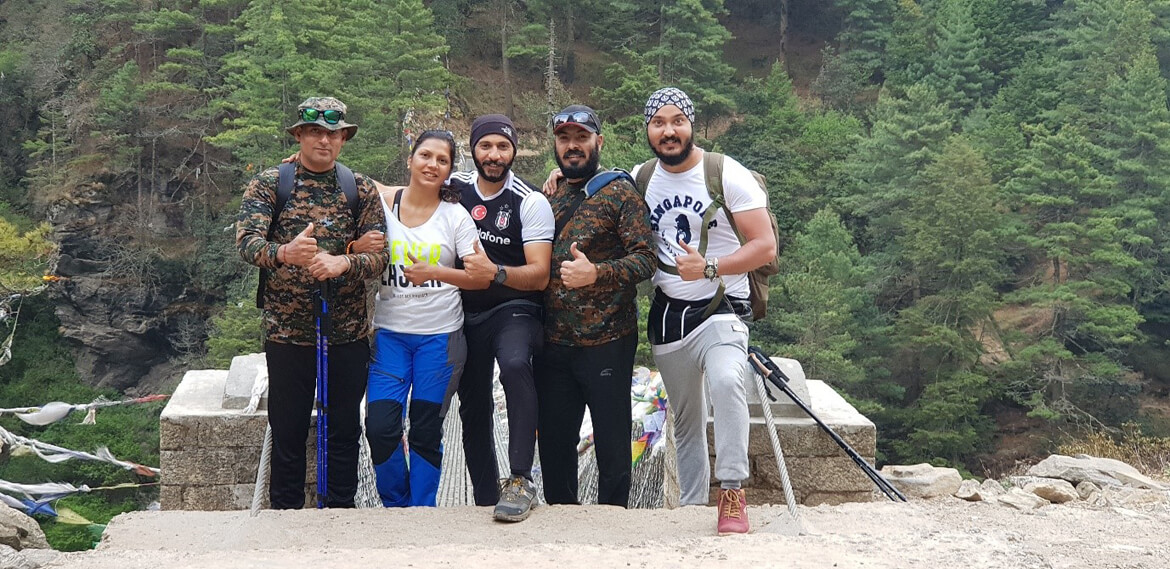
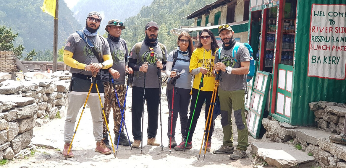
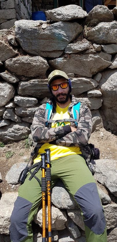
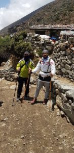
Everyone on the trek is a friend and has a story to tell.
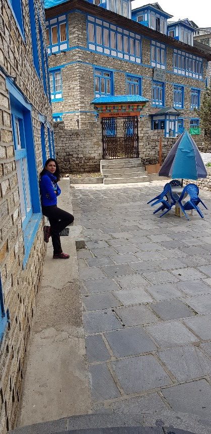
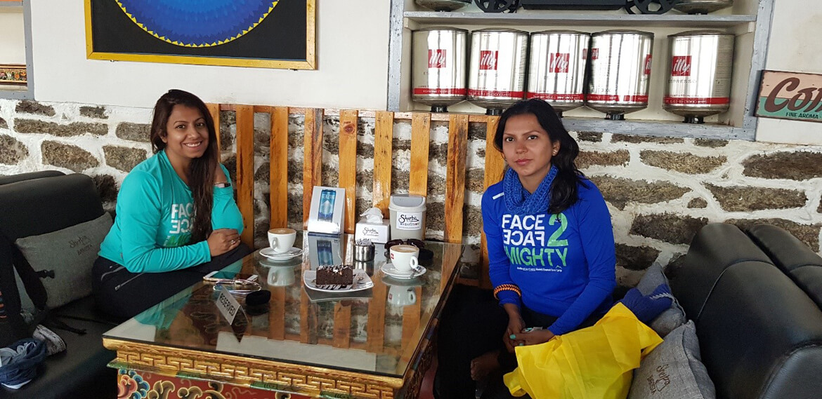
We also took a leisurely stroll through the town, which offered a wide variety of shops, cafes, and restaurants. Namche Bazaar is known for its vibrant market, which offers a range of goods including trekking gear, handicrafts, and fresh produce.
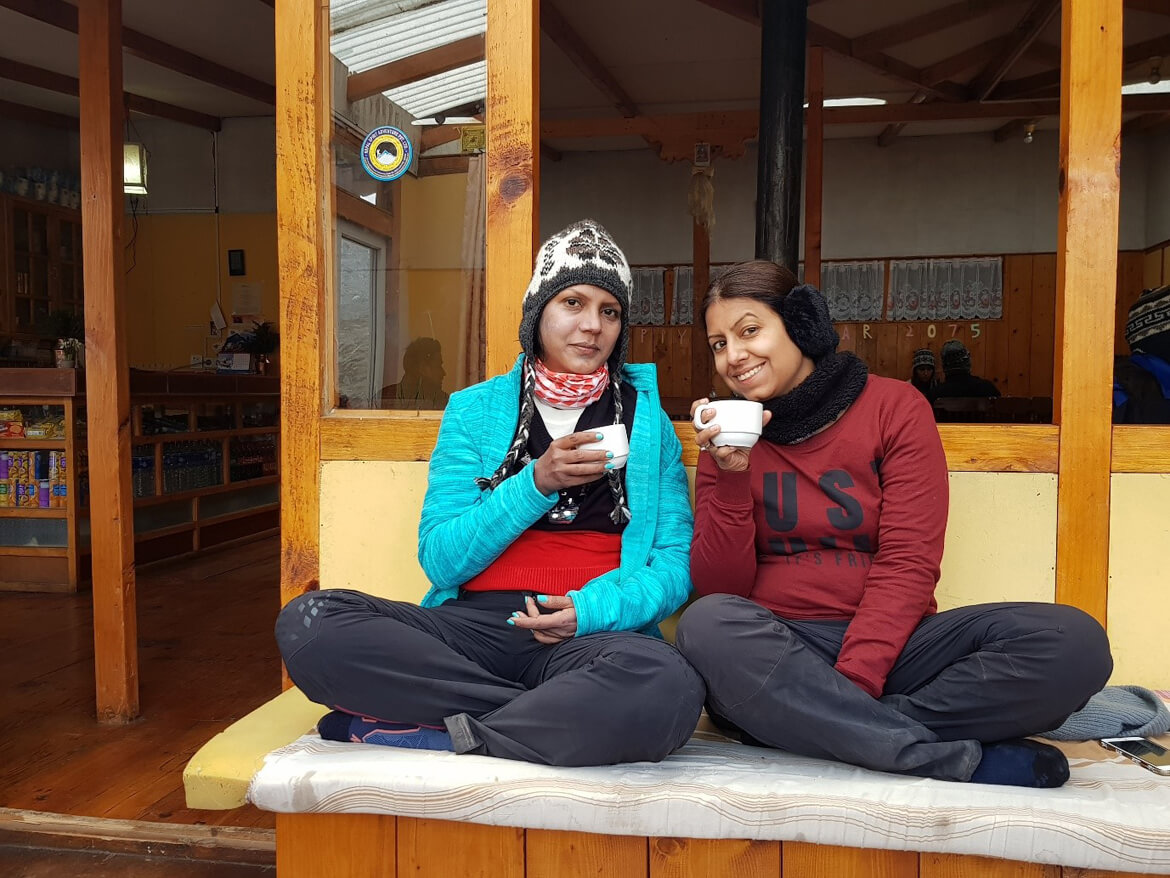
The first and last proper coffee place on the trip
DAY 4
Trek to Pangboche (3,930m/12,694ft): 10km, 5 – 6 hours.
Namche Bazaar to Pangboche, The trail starts with a steep ascent out of Namche Bazaar, climbing up towards the small village of Khumjung. Along the way, you’ll pass through dense forests of rhododendrons and pine trees, with stunning views of the surrounding mountains and valleys.
After a short break in Khumjung to rest and acclimatize, the trail continues towards Tengboche, a small village known for its beautiful monastery. The monastery offers stunning views of Mount Everest, Lhotse, and Ama Dablam and is a great place to stop and take in the scenery.
From Tengboche, the trail descends towards the Imja Khola river and then climbs steeply up towards Pangboche. Along the way, you’ll pass through several small villages and settlements, with ample opportunities to experience the local culture and way of life.
Pangboche is a small village situated at an altitude of 3,985 meters (13,074 feet) and is known for its ancient monastery and beautiful views of Ama Dablam. It’s a great place to rest and acclimatize before continuing the journey to higher elevations.
A photo with a guy who seems to have cut a part of the mountain
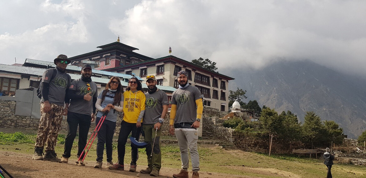
Reached Tengboche Monastery, also known as Dawa Choling Gompa, in the Tengboche village in Khumjung in the Khumbu region of eastern Nepal is a Tibetan Buddhist monastery of the Sherpa community. Situated at 3,867 metres, the monastery is the largest gompa in the Khumbu region of Nepal.
Day 5
Tengboche to Dingboche (4,360 m/14,300 ft): 9km, 5 – 6 hours
Dingboche is a Sherpa village in the Khumbu region of north eastern Nepal in the Chukhung Valley. Its population was estimated at approximately 200 in 2011. It is situated at an altitude of 4,410 meters
Walking daily hours had called upon all of us:
But had to stand and keep walking.
All our day feeling was summarized by this statement Anita found in the book
Day 6
Rest and acclimatization day in Dingboche:
One of the characteristics of Dingboche is the kilometers of stone walls built using stones of different sizes that cover the entire Valley of Imja. These stones are removed to plow the soil and end up being piled one over the other creating kilometers of walls.
The path that is visible is our next Days trek.
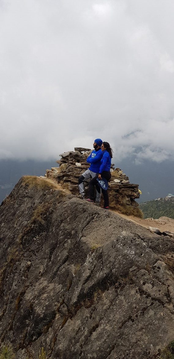
Some fun and photos on our acclimatization short hike up one of the mountains.
Day 7
Dingboche to Lobuche (4940 m/16,207 ft): 7km, 5-6 hours
The trail starts with a gentle climb out of Dingboche, passing through small settlements and fields of barley and buckwheat. As you gain altitude, the trail becomes steeper and rockier, requiring careful footing and a steady pace.
After crossing the Thukla Pass at an altitude of 4,830 meters (15,850 feet), the trail descends briefly before climbing up towards Lobuche. The pass is marked by several memorials to climbers who have lost their lives on Everest, including the famous Italian climber Marco Pantani.
As you climb towards Lobuche, the landscape becomes increasingly barren and rocky, with few signs of vegetation. The air becomes thinner and colder, making it important to dress warmly and drink plenty of fluids.
Today was so draining that we couldn’t take many photos, but a hot cup of tea held at the end of the day
Day 8 – Final Day
Lobuche to Gorak Shep (5,170 m/16,961ft), 13km, 6-7 hours
The trail starts with a gradual climb out of Lobuche, passing through a barren and rocky landscape. As you gain altitude, the air becomes thinner and colder, making it important to dress warmly and drink plenty of fluids.
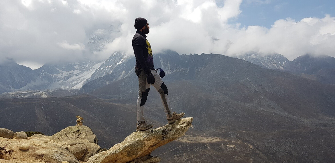
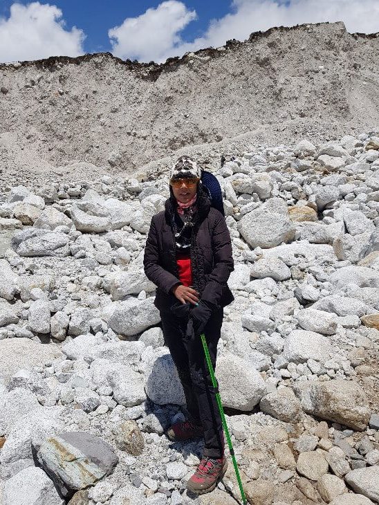
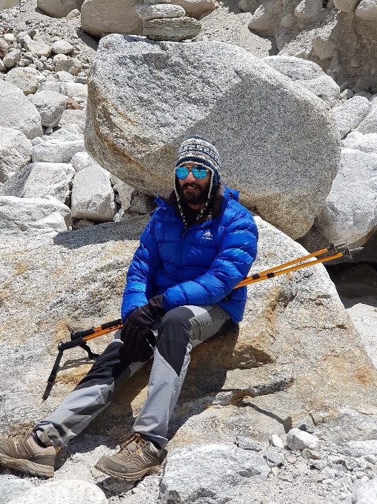
After a steep climb, you will reach the top of the ridge and descend towards the Khumbu Glacier. The trail follows the glacier towards Gorak Shep, passing through rocky terrain and boulder fields.
LAST 6 LAST STRECH
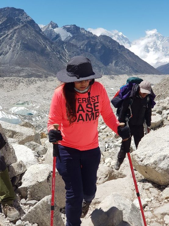
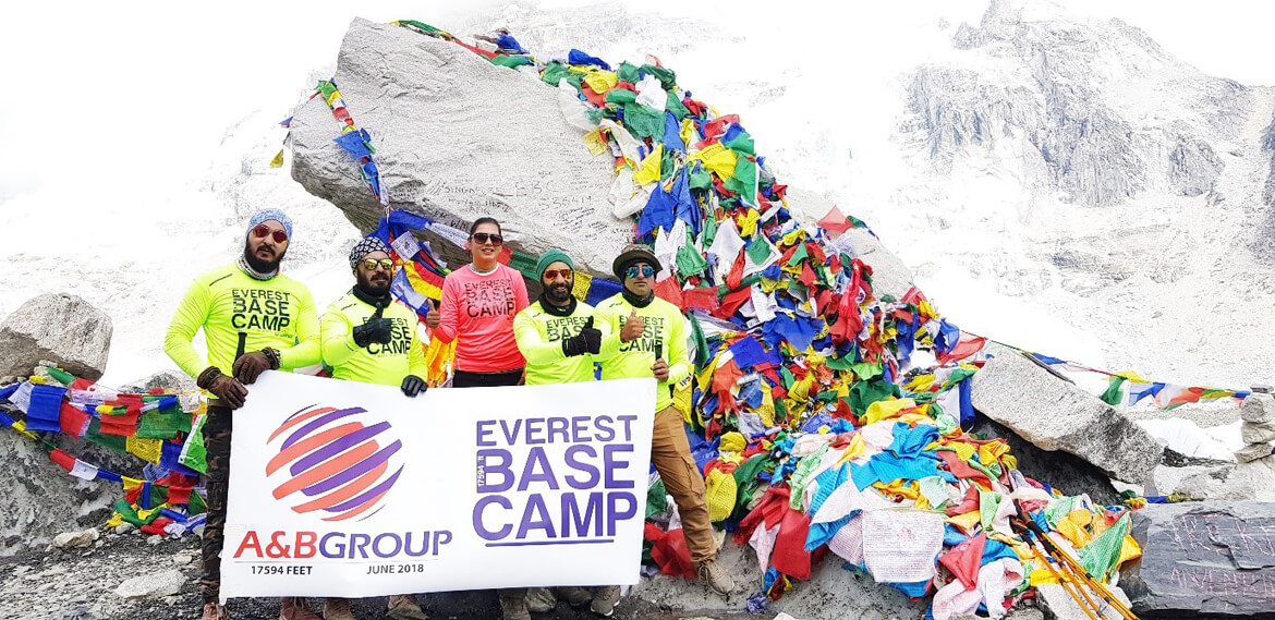
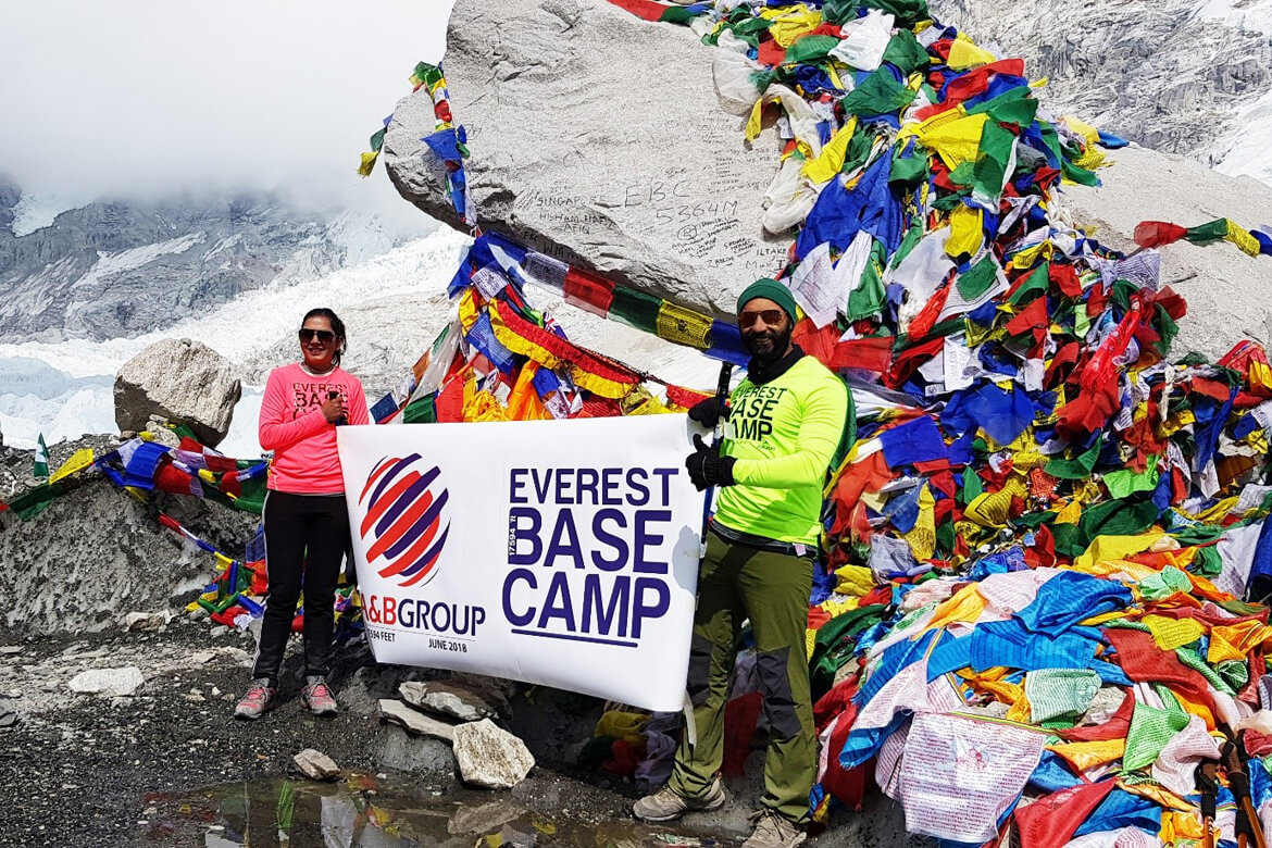
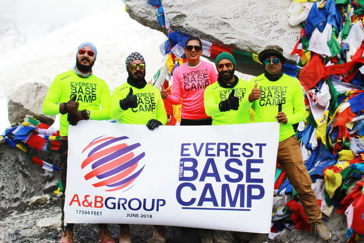
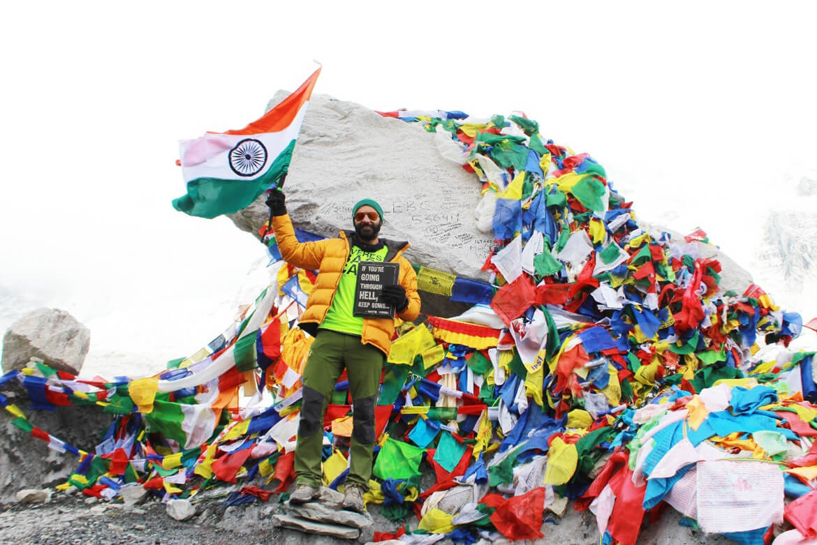
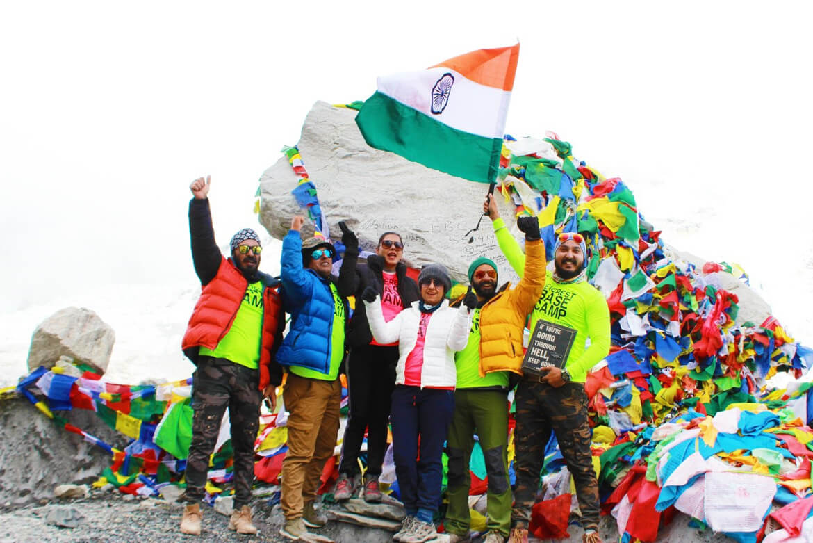
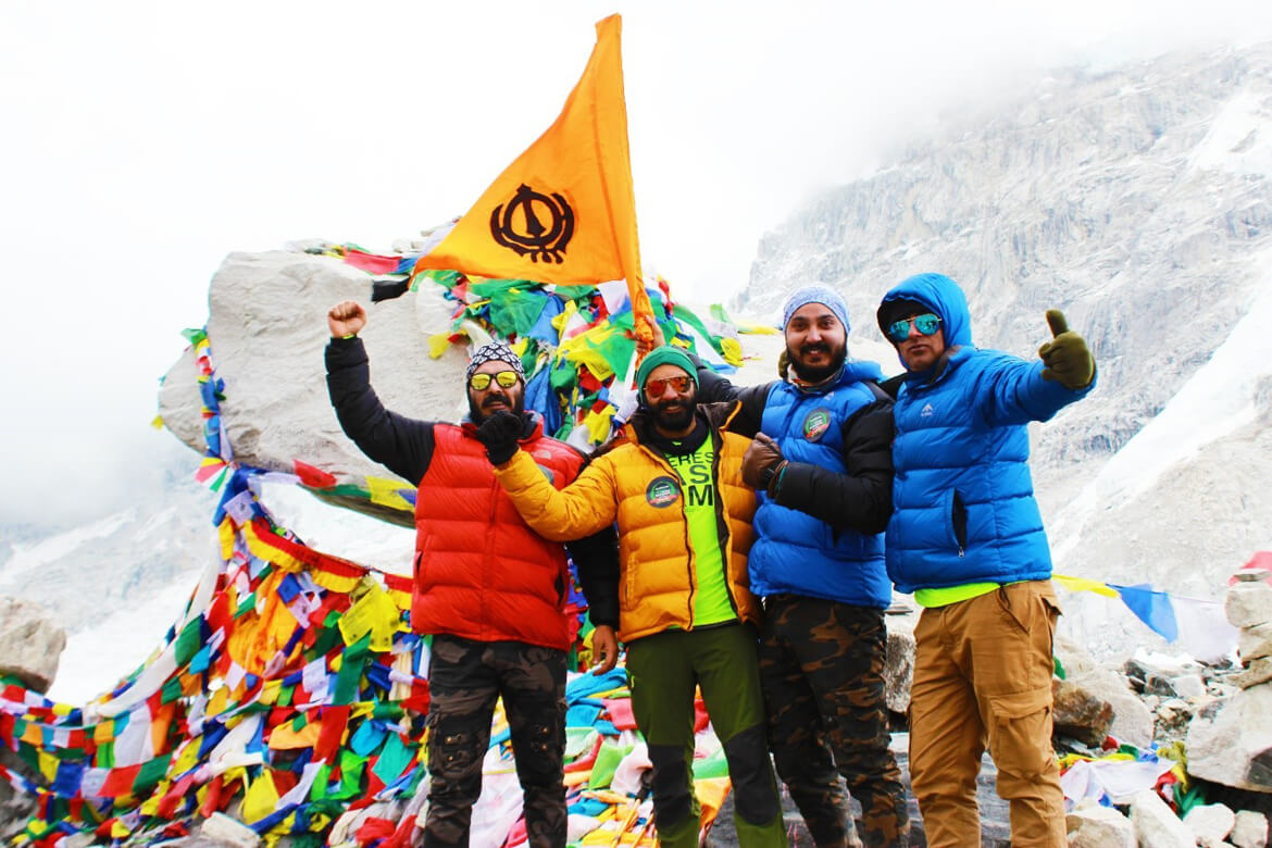
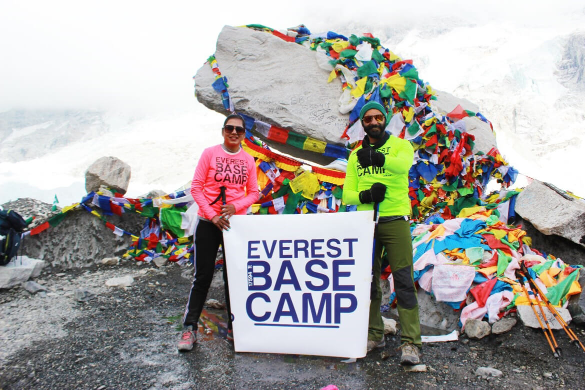
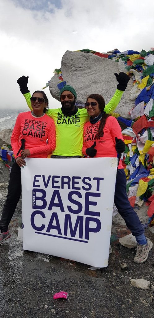
Let’s go to Everest Base Camp (5,364 m/17,594 ft):
Gorak Shep is a small settlement situated at an altitude of 5,160 meters (16,929 feet) and is the last stop before reaching Everest Base Camp. It offers stunning views of the surrounding peaks and is a great place to rest and acclimatize before continuing the journey to Everest Base Camp.
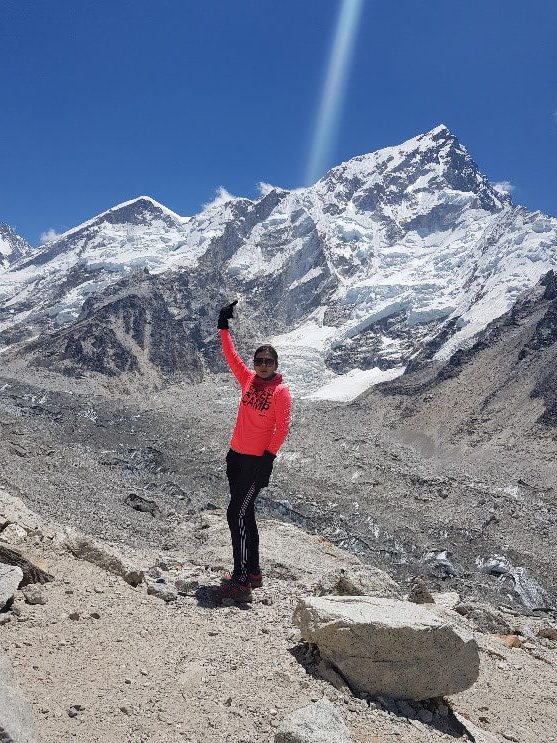
From Gorak Shep, you can choose to trek to Everest Base Camp or climb to the top of Kala Patthar, a small peak situated at an altitude of 5,545 meters (18,192 feet). Both options offer stunning views of the surrounding peaks and are a great way to experience the majesty of the Himalayas.
Our option was clear Everest Base Camp. After a quick break, we started our final stretch
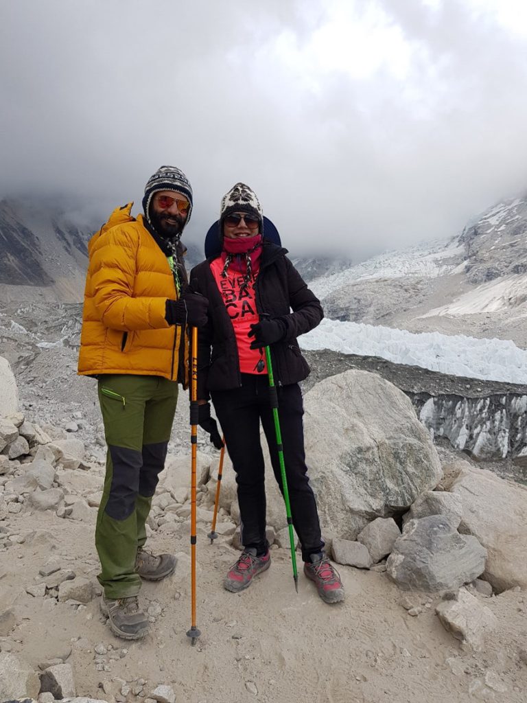
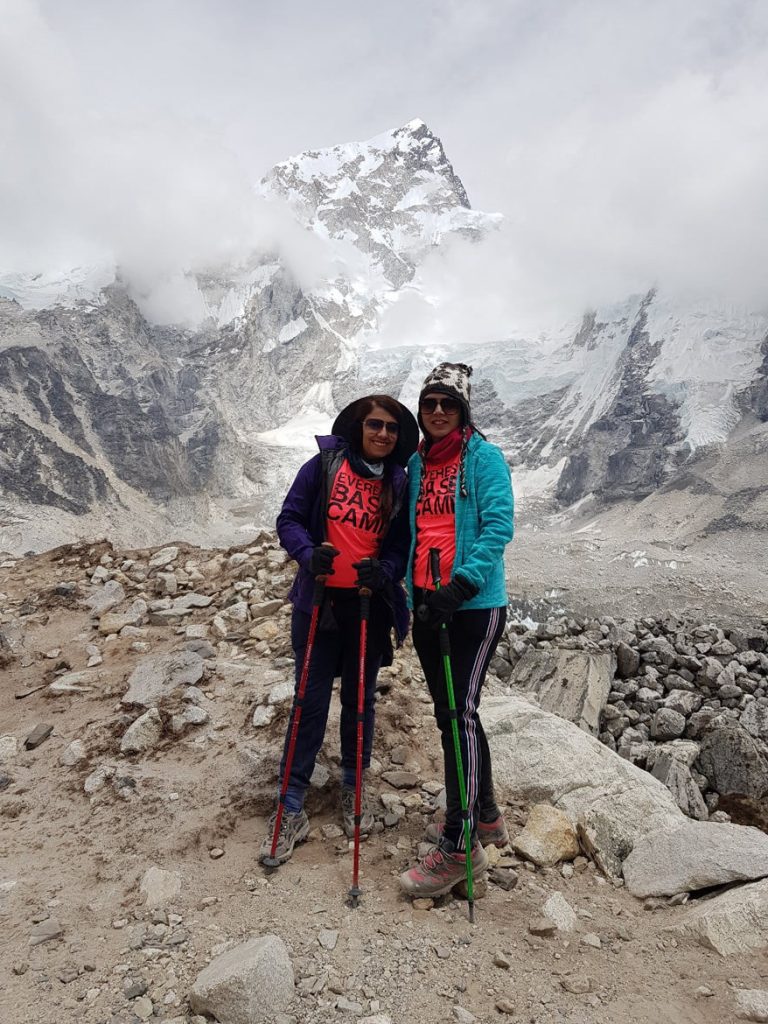
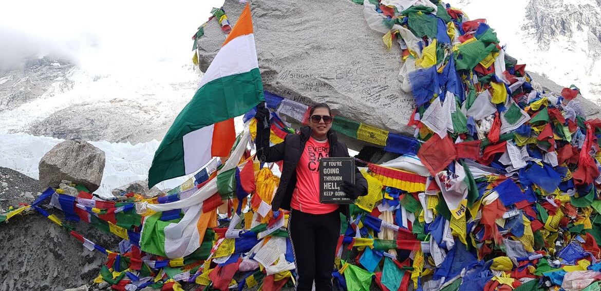
And finally we reached Everest Base Camp.